top of page
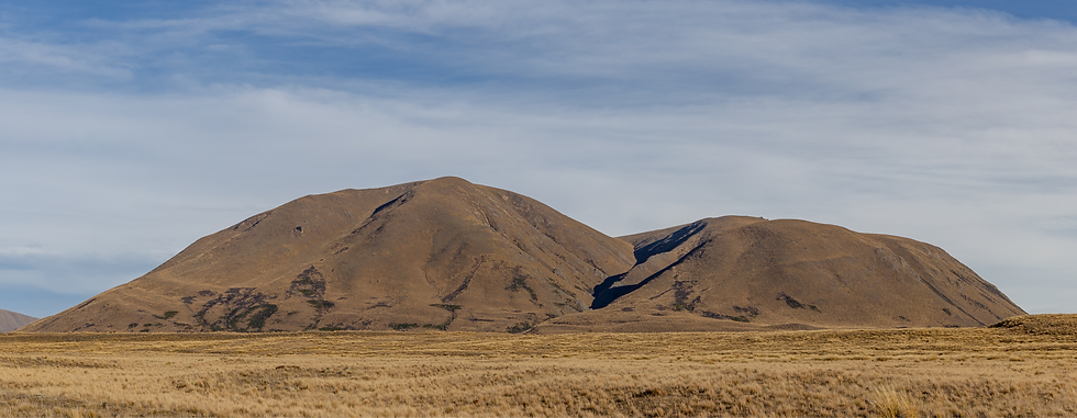
Mount Guy
Green
Credit: Michal Klajban

Basic Details
Takeoff GPS 43°35'32.2"S 171°04'58.9"E
Takeoff Altitude: 1319m
Landing GPS 43°36'43.9"S 171°03'50.8"E
Landing Zone altitude: 700m
The Hike
-
Track Start GPS: 43°36'49.7"S 171°03'50.0"E
-
Duration: 2hrs
-
Difficulty: Easy / sustained
Notes:
Track can be icy in winter.
The Takeoff
Terrain:
Rounded tussock plateau, occasional scrub
Launch direction:
(nearly) 360°
LZ visible from TO? Yes
Hazards:
Sticky plants to snag lines


The Flight
-
Min. G.R. to LZ required: 4.5:1
-
Hazards: No site-specific hazards
Primary LZ
-
Terrain: Wide open tussock
-
Wind direction indicators: Grass, lakes
-
Hazards: Alpine plants, some boggy areas in landing
-
Hike out: <5mins
bottom of page